
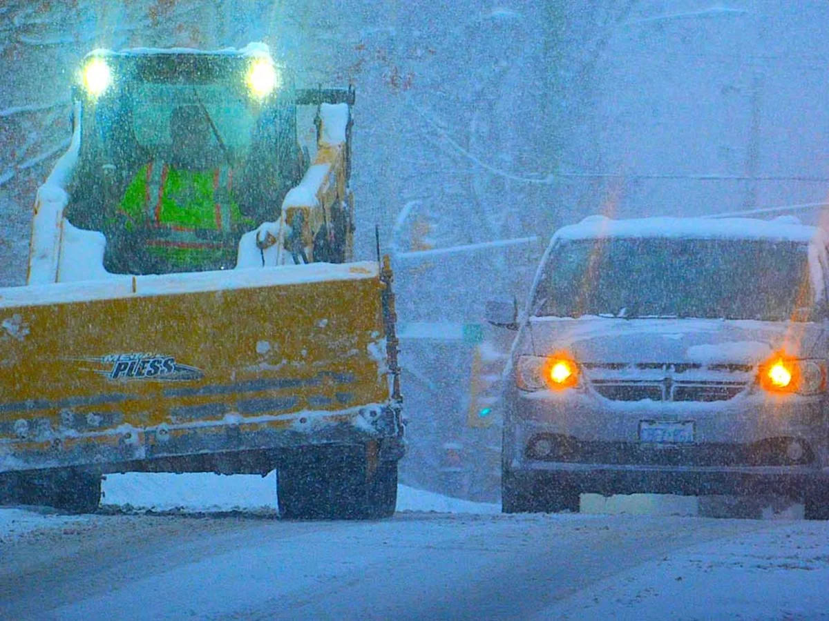
The snow shovels will be working overtime as some Southern Ontario residents are set to face another round of heavy snowfall, possibly starting as early as Sunday evening with possible blizzard conditions on Monday.
Facing the brunt of the next wintery wallop are communities east of Lake Huron, from the Stratford, Mitchell and Southern Perth County regions up to the Bruce Peninsula, Sauble Beach and Tobermory areas, with Environment Canada’s orange alerts warning of expected lake-effect snow squalls.
The agency’s alert, issued on Sunday, said 20 to 40 cm of snow is expected to fall, though higher amounts are possible locally. The heaviest snowfall is expected Monday night into Tuesday.
It also warned of possible blizzard conditions Monday afternoon through Monday evening.
Westerly winds gusting up to 90 km/h are expected with wind chills hovering between -20 to -25C, Environment Canada said.
“Avoid travel and outdoor activities, if possible,” the weather agency warned. “If you must travel, have an emergency plan.”
A similar orange alert was also issued for Picton and the Sandbanks Park area, warning of snow squalls beginning Sunday evening and snowfall accumulations of 20 to 40 cm.
In both orange alerts, Environment Canada warned of dangerous conditions associated with reduced visibility and possible power outages.
Yellow alerts issued for other parts of Ontario
Elsewhere, Environment Canada issued a yellow alert for the Georgian Bay region with 10 cm of snow expected in the area.
In the Niagara region, the weather service said lake-effect snow off Lake Erie is forecasted for Sunday and is expected to intensify into snow squalls overnight, dumping an estimated 15 to 25 cm of snow.
“Southwest winds gusting up to 90 km/h near Lake Erie on Monday will create areas of near zero visibility in heavy snow and blowing snow,” Environment Canada warned, adding that power outages are possible.
The Belleville, Quinte West and Eastern Northumberland County communities are bracing for an expected 10 to 20 cm of snow set to fall as early as overnight Sunday.
Though Greater Toronto and Hamilton Area residents may have been spared from any major snow shovelling in this wintery dumping, the region won’t be able to escape the frigid Arctic air pushing through the area this week.
Light snow is forecasted in Toronto, beginning Sunday evening, with winds picking up Monday, possibly gusting up to 60 km/h in the afternoon.
The City of Toronto’s warming centres are currently open to vulnerable residents in need of shelter.