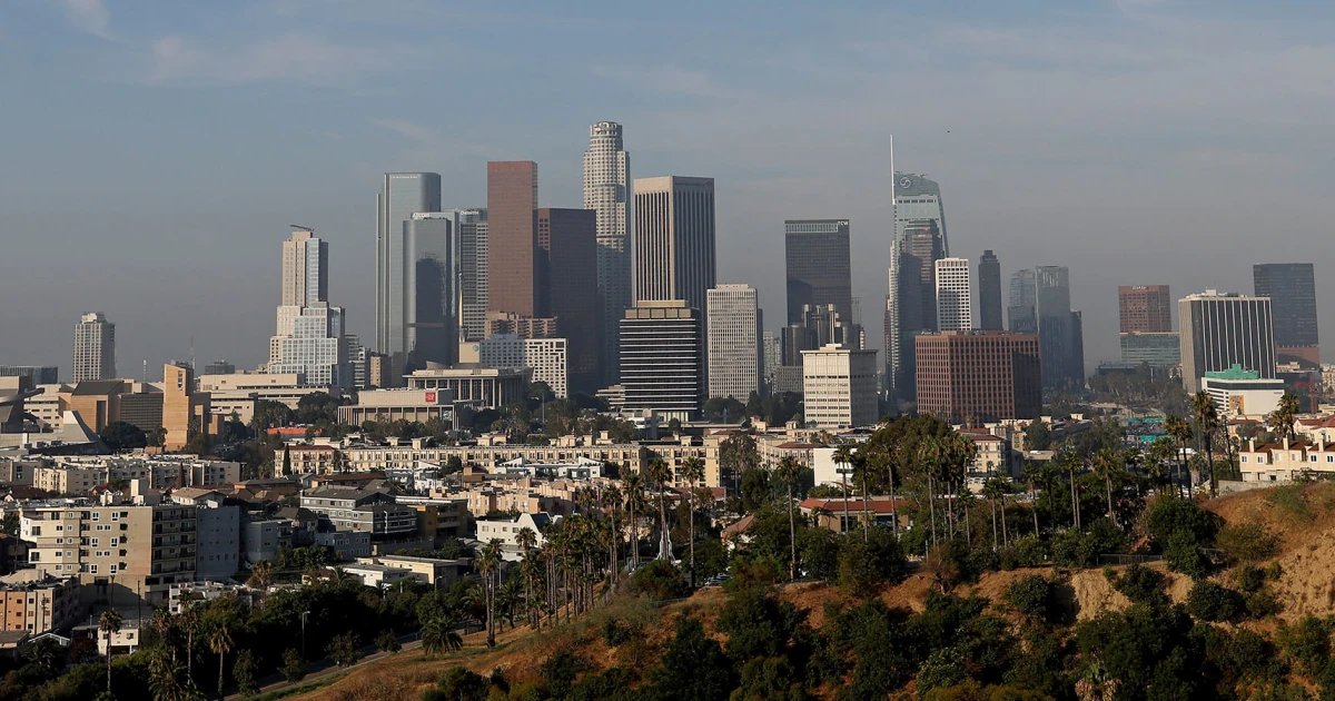
Around 23 million people across California are covered by flood notices Friday as Los Angeles braces for what could be a month’s worth of rain in a day.
Concerns about heavy rain in the area — which receives an average of 0.78 inches in November — are compounded by burn scars left by the deadly and disastrous Palisades and Eaton fires in January, which could exacerbate flooding.
“Excessive rainfall is the primary, life-threatening concern, with widespread flash flooding and debris flows likely across the vulnerable burn scar areas of Santa Barbara, Ventura, and Los Angeles Counties,” the National Weather Service said in its forecast discussion Friday.
In parts of Ventura County, rainfall estimates range from 2 to 5 inches for coasts and valleys, and 4 to 8 inches for mountains and foothills.
The San Diego metropolitan area is also under a moderate risk of flooding Friday and Saturday.
Evacuation orders, warnings and advisories are in effect for specific burn-scar areas, according to local authorities.
- Evacuation order (from 8 p.m. PT Friday to 8 a.m. Sunday): The areas of the Palisades and Eaton burn scars, as well as the Canyon, Bethany, Hurst, Kenneth, Sunset, Lidia, Franklin, and Bridge fire burn-scar areas.
- Evacuation warning (from Thursday to Sunday): The Mountain Fire burn area and the Matilija Canyon, North Fork and Camino Cielo communities inVentura County. Residents should be prepared to leave at a moment’s notice.
- Evacuation advisory: In Kern County, residents of the Borel Fire burn scar area were under an advisory Friday that urges them to be ready to flee if flooding or debris flows take place.
There will be two rounds of wet weather, with the first round bringing relatively light rain to the region Friday and a second one armed with 2 to 5 inches of precipitation for urban Southern California and as much as 6 inches for isolated regions such as mountains and foothills, federal forecasters said.
The peak of the storm, a second wave that could produce rain at a rate of 1 inch per hour, was expected to bring its worst impacts on Saturday morning, forecasters said.
“Expect those bursts of heavy rain to pick up in the morning,” Ariel Cohen, chief meteorologist at the National Weather Service office in Oxnard, said at Friday evening news conference. “The worst of the conditions is expected to persist through early Saturday afternoon.”
Rain was falling across parts of Southern California on Friday afternoon, bringing reports of a car stuck in six inches of mud on Highway 101 near El Capitan State Beach. Los Angeles International Airport reported nearly an inch of rainfall within an hour, exceeding its average monthly rainfall for the entire month of November.
Hip-hop artist Tyler, the Creator’s annual, two-day festival in Los Angeles, Camp Flog Gnaw Carnival at Dodger Stadium, was pushed back to next weekend because of the incoming weather, organizers said.
Storm readiness
The office of Gov. Gavin Newsom on Friday urged Southern Californians to sign up for emergency alerts, tune in to news on flooding and debris flows, check on elderly and disabled neighbors, have a go bag with essentials for last-minute travel, and otherwise stay off roads when possible.
The office said it has sent 400 firefighters, rescue crews, first responders, and emergency dispatchers to parts of Southern California as part of preparations for the Pacific storm.
Los Angeles Mayor Karen Bass said the Los Angeles Fire Department is participating in the deployment and has three swift-water rescue teams, an urban search-and-rescue team, and a 22-member crew attached to heavy duty rescue trucks at the ready through the weekend.
San Diego County government and the California Department of Forestry and Fire Protection are providing free sandbags for flood defense to residents of unincorporated areas. They can be found at regional fire stations, the county said on its website.
Flood risk and snow chances
The comma-shaped, winter-pattern storm from the Gulf of Alaska is feeding off relatively warm subtropical seas as it comes ashore from the south, projections from the weather service show.
The Center for Western Weather and Water Extremes at UC San Diego — which pioneered a 1 through 5, weak-to-strong scale for atmospheric rivers — rates the weekend system at AR 4, but says the most potent elements of the storm will strike south of the border, with Southern California expected to experience it at AR 3 strength.
Flood watches cover the entirety of urban Southern California, from Ventura County to the U.S.-Mexico border, and from the coastline to the Nevada and Arizona state lines, with only California’s Imperial County, where growers claim to produce half the nation’s winter vegetables, left out of the day’s alerts.
The alerts, which also reach into parts of Central California, cover a shifting time frame that runs from Friday afternoon into Sunday for some areas, with flood watches in Southern California expected to remain until at least Saturday evening.
The same system is expected to bring as much as 2 feet of snow to the Sierra Nevada Mountains of Central and Northern California over the weekend, forecasters said.
However, because the precipitation is being fed, in part, by subtropical climes, the snow elevation levels will be higher than normal, 8,500 to nearly 10,000 feet Saturday before dropping to roughly 7,000 feet on Sunday, the weather service said.
The two-fisted front is expected to depart Sunday, but another Pacific storm may be warming up for an appearance in California by Monday, forecasters said. Next week, in fact, had at least one more winter-pattern storm lined up behind that one, they said.